Emmanuel Stourm 2020
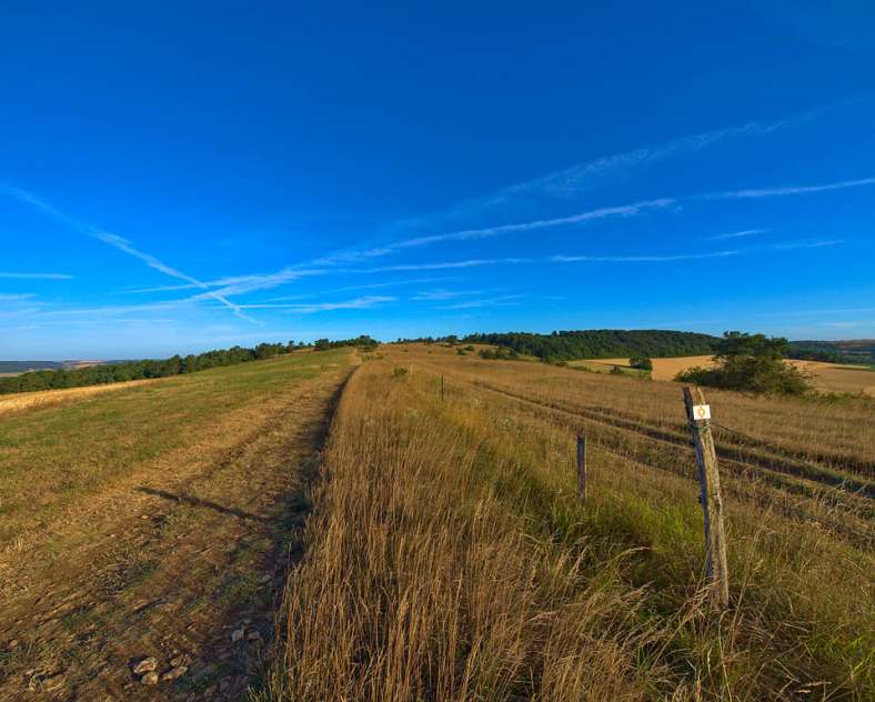
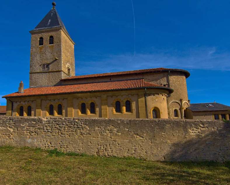
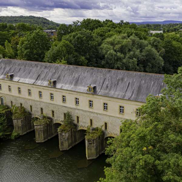
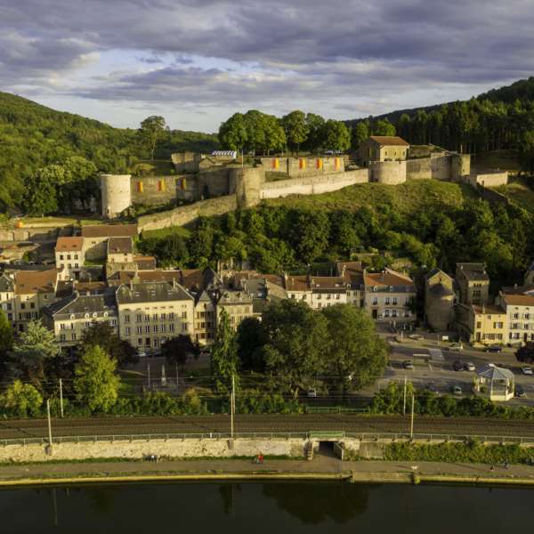
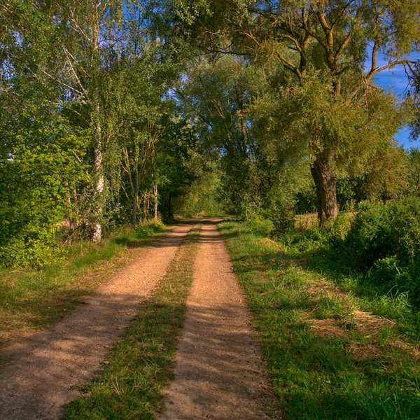
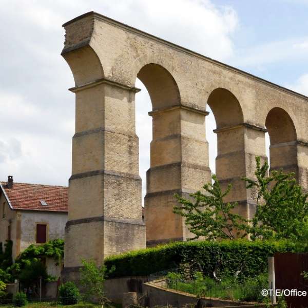
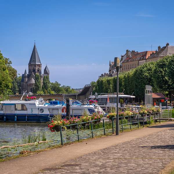
The GR5F hiking route leads from the source of the Moselle in Bussang to its confluence with the Rhine in Koblenz. It enters France in Apach and provides a link via the Moselle valley. This short second stage leads walkers from Yutz to Rombas via the Côtes de Moselle hills.
Practical information
Fitness / outdoor trails from PLAPPEVILLE, mode of transport / activity : Walking-related, on the theme(s) : Natural.
Riders will avoid the town center and head further south.
Features of the route
difficult
25 à 50 km
Itinerant
Distance in kms : 35
Difference in altitude : 847
Duration of the course : 11:00
Altimeter profile
Route line
Visit conditions
Visits
Follow the signs: Red and white lines
Groups accepted on reservation
The course
Contact us
GR501 from Plappeville to Bouxieres-sous-Froidmont
- ffrando@sport57.fr
- 06 73 22 49 26
- 57050 PLAPPEVILLE
