
Emmanuel Stourm 2020
Licence Open Data

Emmanuel Stourm 2020
Licence Open Data

Emmanuel Stourm 2020
Licence Open Data

Emmanuel Stourm 2020
Licence Open Data

Emmanuel Stourm 2020
Licence Open Data

Emmanuel Stourm 2020
Licence Open Data
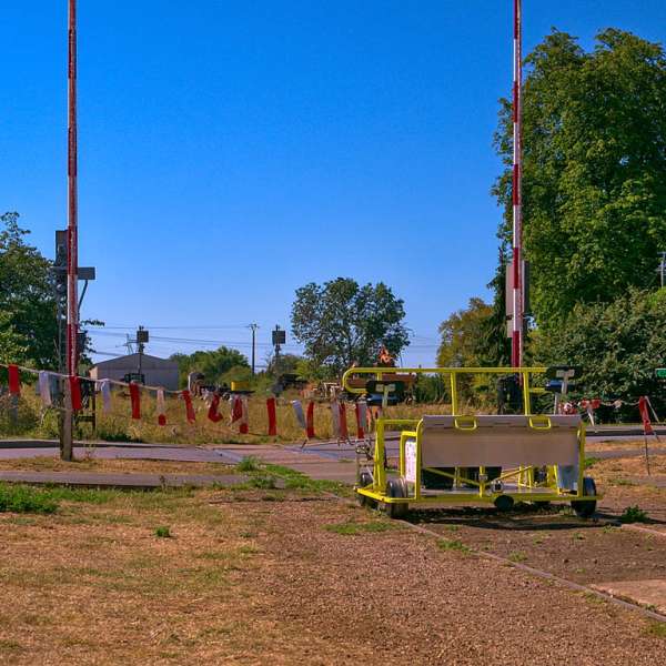
A very pleasant route along the course of a former railway which was used to supply the Maginot Line forts to the east.
Practical information
Fitness / outdoor trails from SAINT HUBERT, mode of transport / activity : Walking-related, on the theme(s) : Historic, Natural.
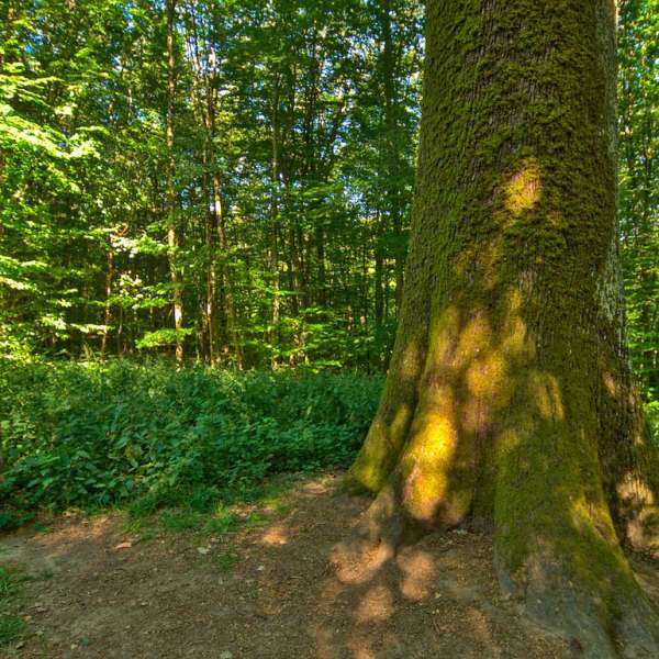
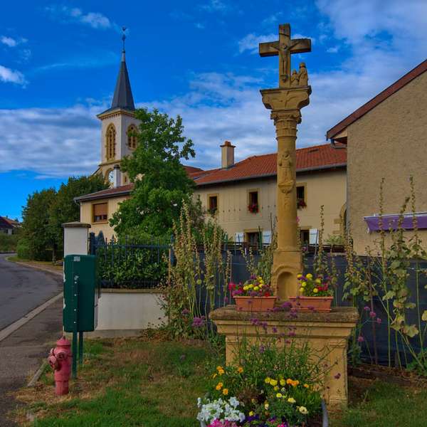
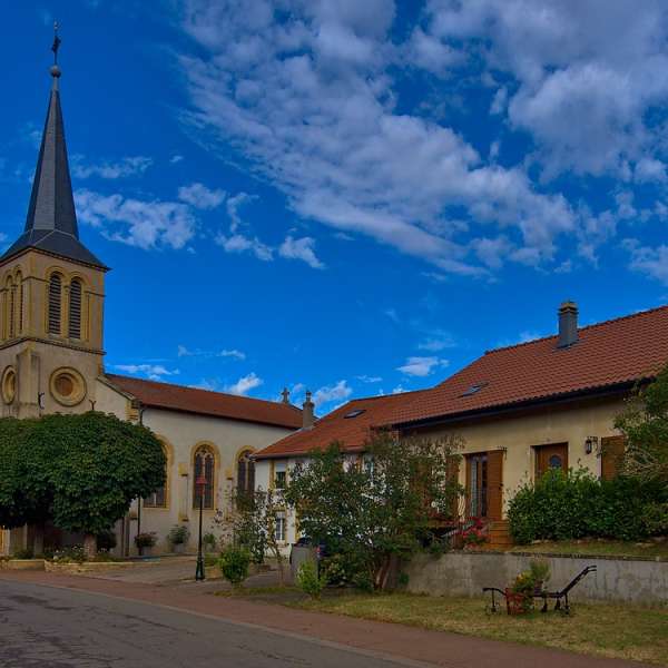
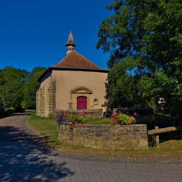
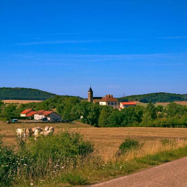
In this land of legends, with its vast forests, hamlets and villages nestled in the middle of clearings, and abbey ruins, it is said that a spring gushed forth at the spot where Charlemagne’s horse struck the ground with its hoof during a hunting party.
Features of the route
moderate
5 to 10 km
Loop
Distance in kms : 9,5
Duration of the course : 02:50
Altimeter profile
Route line
Flyer / map
Visit conditions
Visits
Signposted route
The course

Contact us
The way to 60
- tourisme@inspire-metz.com
- 03 87 39 00 00
- parking Saint-Michel57640 SAINT HUBERT