Autrement Vu
A hint of local history in the wild!
Two circuits in the heart of the Lorraine countryside which will help you discover its charming little corners steeped in local history.
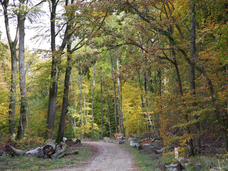
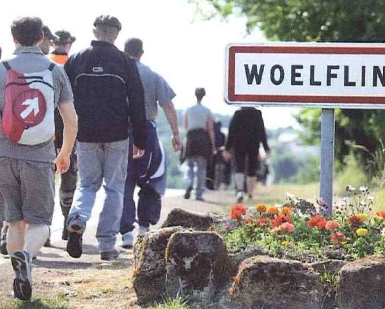
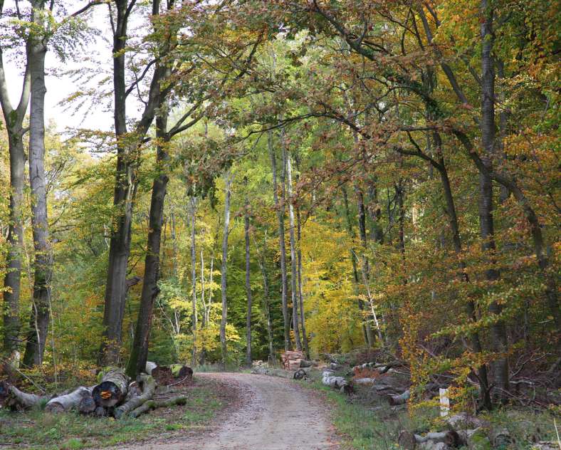
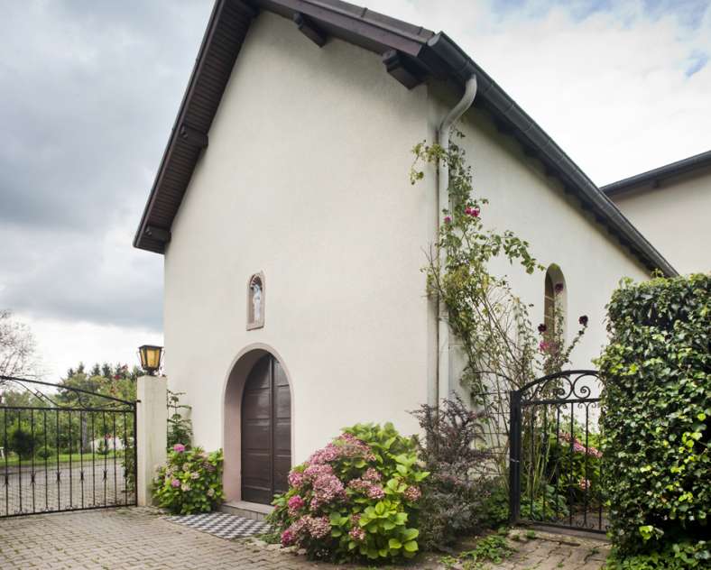
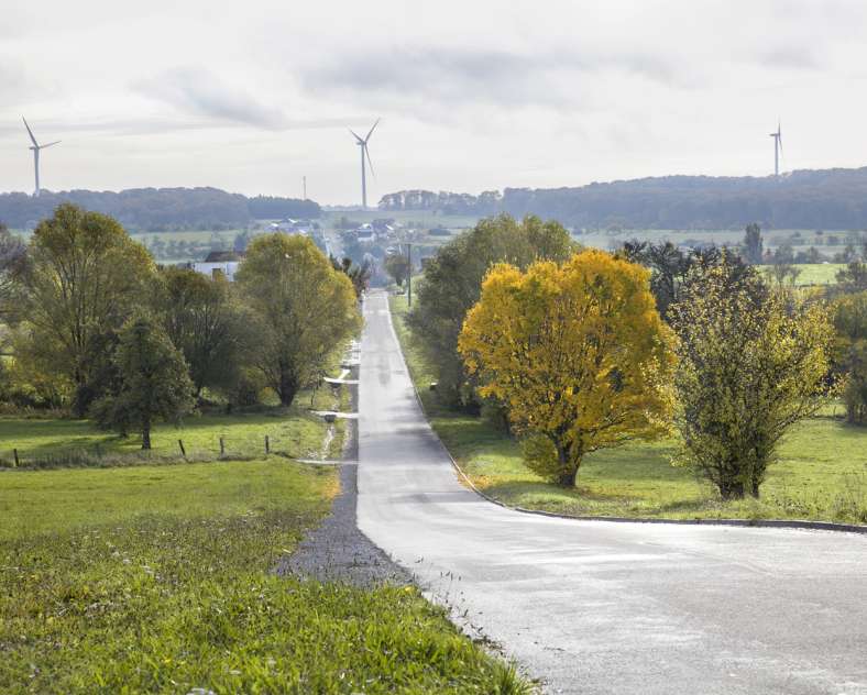
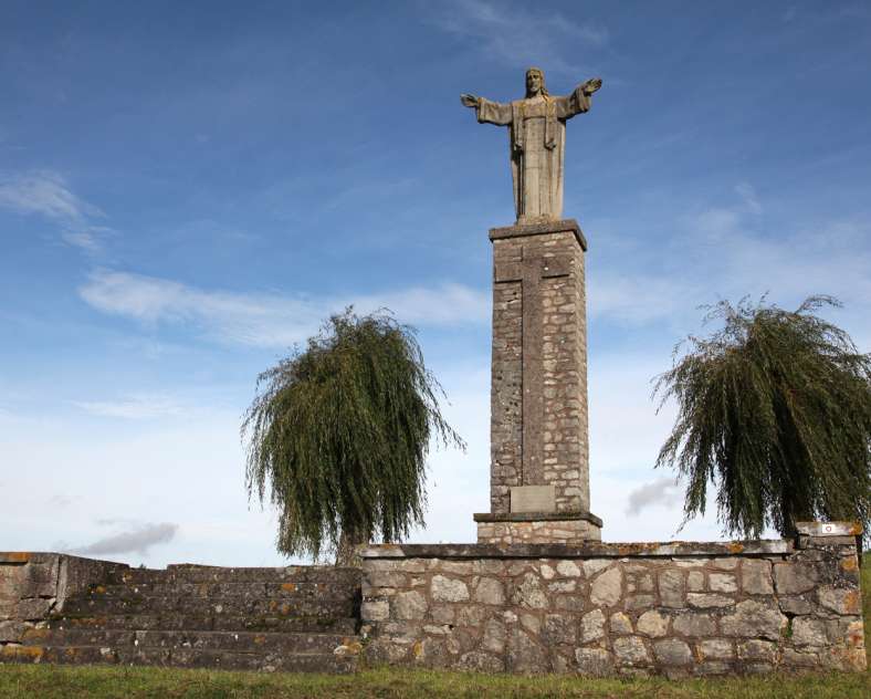
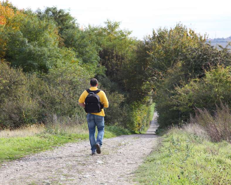
After crossing the village of Woelfling, head towards the Saint-Hermès chapel through the Bliesbruck woods. Its presence is attested to at least since the 17th century and it is still a place of pilgrimage during the summer. Then head back towards the village and turn right towards the Cross of the Sacred Heart which was built by the parish in 1951 after the Second World War. The next part of the tour takes you through the Schorwald to the Tiefer Puhl. Several legends surround this pond, all of them evoking a lord who disappeared there with his carriage after having ordered his coachman to run over a child who was blocking his way. Although it has been drained since 2003, the place still has a special atmosphere. Finally, return to the village via the Roman road, from which you can see the wind farm, and you have come full circle!
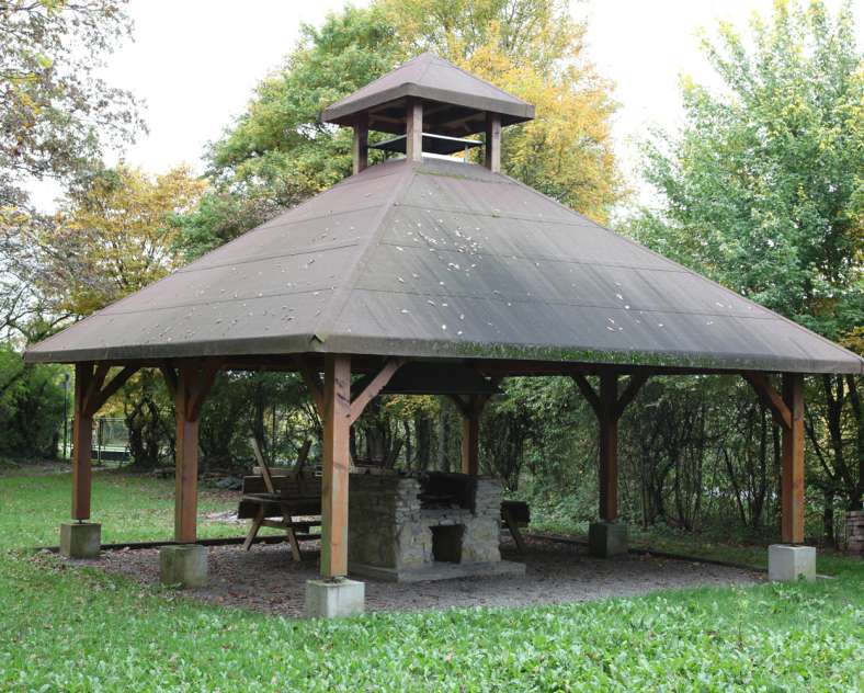
There is also the option of a second, shorter route, which passes by a recreation area ideal for a lunch break. Two junctions with the first route allow you to make the detours of your choice.
11 km or 4 km circuit
Level of difficulty: easy
Duration: 2h45 or 1h
Start at n°29 Route Romaine 57200 Woelfling-lès-Sarreguemines, at the junction with the Rue Principale.
GPS coordinates: Latitude: 49.08334, Longitude: 7.176216
Practical information
Fitness / outdoor trails from WOELFLING LES SARREGUEMINES, mode of transport / activity : Walking-related.
Features of the route
easy
Less than 5 km
10 to 15 km
Loop
Altimeter profile
Route line
Visit conditions
Visits
Signposted route
Groups accepted on reservation
Contact us
Pedestrian trip in woelfling-les-sarreguemines
- woelfling-les-sarreguemines@wanadoo.fr
- 03 87 02 37 41
- 57200 WOELFLING LES SARREGUEMINES
How to get there ?