C.Romang - OTIPB
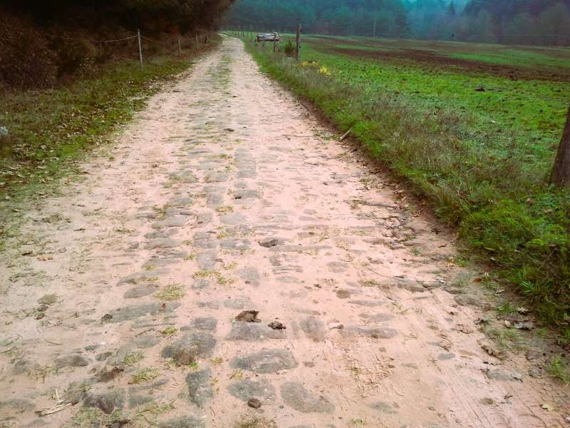
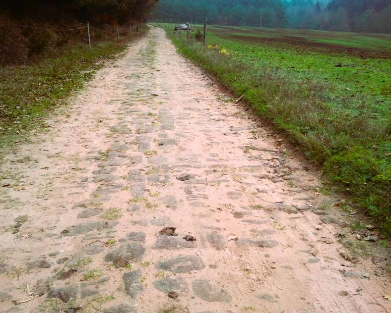
This trail follows an ancient Roman road all the way to the other side of the border, in Germany, along the picturesque path that runs alongside the majestic Altschlossfelsen rock, which can be translated to "old castle rock" because a small castle once existed there.
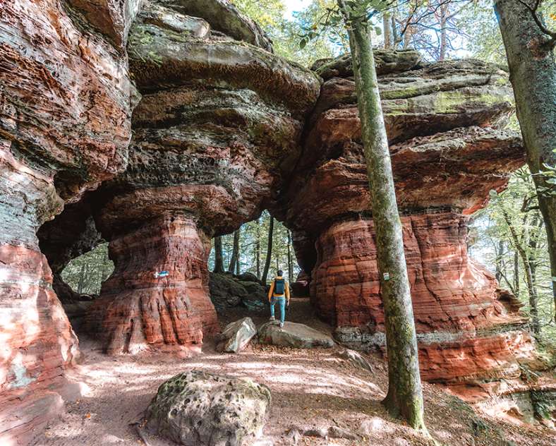
It is also known with the nickname "The Colorado Rock".
Starting from the 18th-century church in Roppeviller, with its Romanesque bell tower, the route joins the Helmut Kohl path.
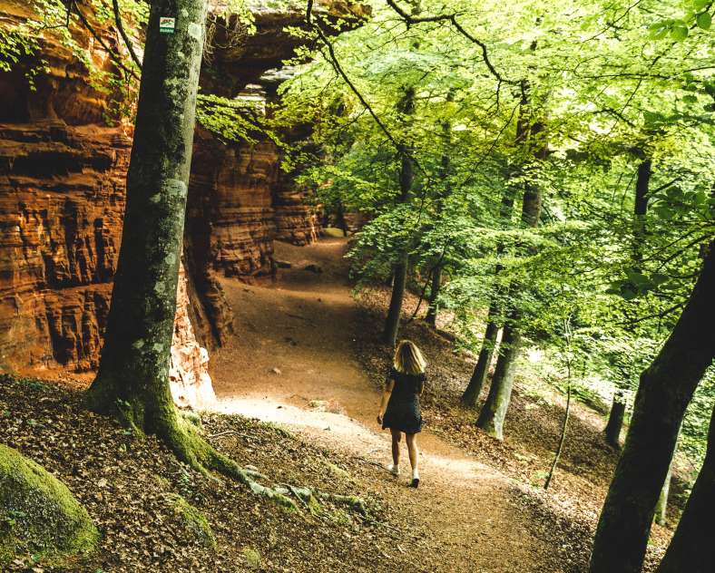
Less than a kilometre further on rises the Altschlossfelsen rock. . This rock is one of the largest in the Palatinate Massif. It stretches for almost 1.5 km and is up to 20 metres high in places. The countless caves, overhangs and other geological curiosities of the Altschlossfelsen are sure to surprise you!
The Diana Rock and the three figures carved into the rock represent Diana the Goddess of the Hunt, Mars the God of War and Sylvanus the God of the Forest (or Hercules).
There is a picnic table nearby (about 300 metres).
Download the GPX trail here: https://www.cirkwi.com/fr/circuit/185185-sentier-d-excellence-6-circuit-du-rocher-de-l-altschlossfelsen
Practical information
Fitness / outdoor trails from ROPPEVILLER, mode of transport / activity : Walking-related, Trail, on the theme(s) : Historic, Natural.
Features of the route
easy
5 to 10 km
Loop
Distance in kms : 7,1
Difference in altitude : 162
Altimeter profile
Route line
Visit conditions
Visits
Signposted route
Contact us
Sentier d'excellence 6 - circuit du rocher de l'altschlossfelsen
- contact@tourisme-paysdebitche.fr
- 03 87 06 16 16
- Parking au fond du villageRue du rocher57230 ROPPEVILLER


How to get there ?