OT Saint-Avold Coeur de Moselle
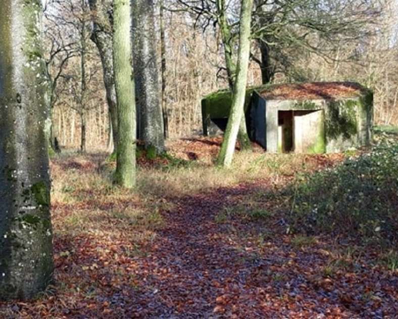
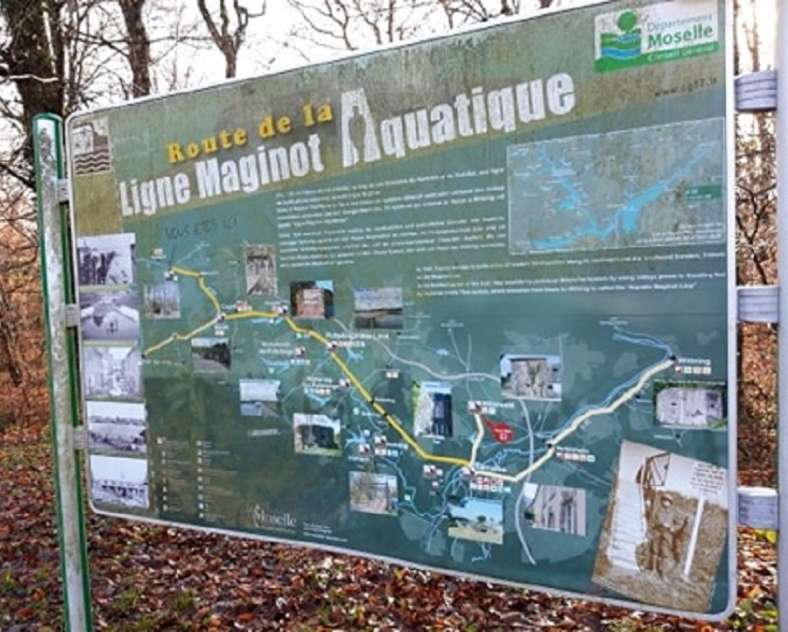
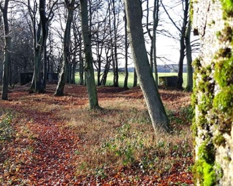
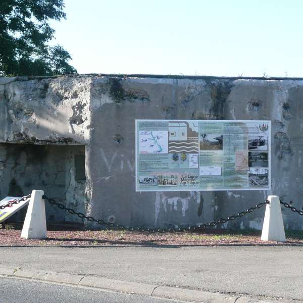
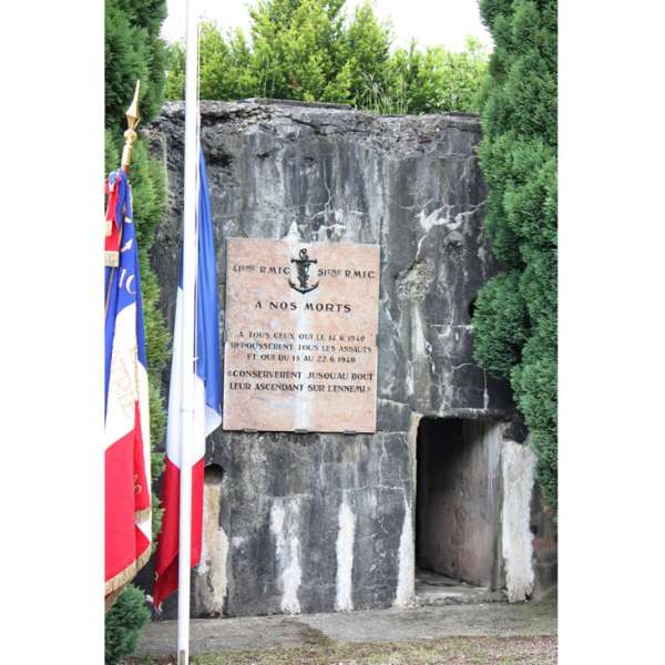
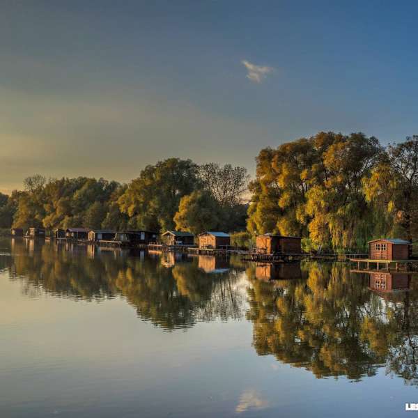
Along this route you will discover this ingenious system of defensive flooding and the numerous blockhouses, casemates and other fortifications that complete the system.
Practical information
Cultural trails from MACHEREN, mode of transport / activity : Road-related, on the theme(s) : Historic, Natural, Family, Riverside.
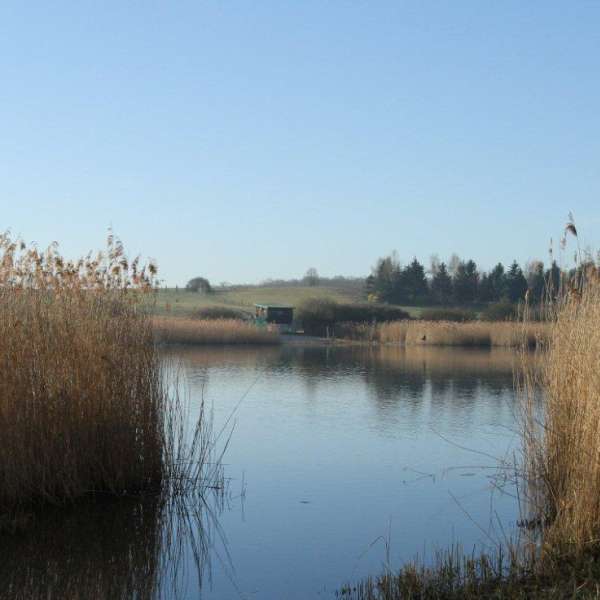
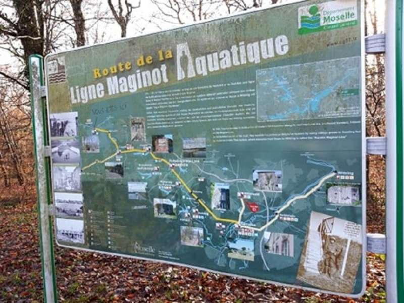
Between the fortified region of Metz and that of the Lauter, the Saar Gap stretches for some 40 kilometres and was annexed to Germany in 1935. This gap then became a potential "gateway" for the enemy. As early as 1927, studies were carried out to block this gap between the German Nied and the Saar river using a natural obstacle: water.
Itinerary by car or motorbike, not recommended for cyclists.
Features of the route
15 km and more
Round trip
Distance in kms : 22,7
Duration of the course : 03:00
Altimeter profile
Route line
The course
Contact us
Aquatic Maginot Line Route
- otsi.hombourg-haut@wanadoo.fr
- 03 87 90 53 53
- 57730 MACHEREN
